
We were going to head to Aguirre Springs campground and hike Baylor Pass for a short weekend get-away with the other J-s. Unfortunately, it’s a first-come-first-serve campground, and even though A- called ahead of time and the ranger said there should be room, the campground was full when we arrived, and there isn’t any dispersed camping in the area. After considering and dismissing some close KOA’s and even motels in Las Cruses or Alamagordo as not conducive to our chi, we instead headed back to Lincoln National Forest east of (and critically, as you’ll see later, above) Alamagordo. M- and I had an initial foray into the area over Thanksgiving and knew there were lots of good spots just off FR 90. Importantly, we also knew FR 90 was a decent gravel road that the other J-‘s motorcycles could get down.
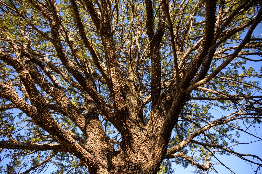
Indeed, we found a good spot. Waking up in the woods really does center my chi. Below are a few photos I snapped while everyone greeted the morning. I got a little obsessed with the alligator cedar for awhile. Usually, most of them I see look a little worse for the wear, a bit lopsided and mangled, but this beauty was pristine and uniformly spherical. M- made fun of me for my enthusiasm and the action poses (not shown) required to get the angles I wanted.
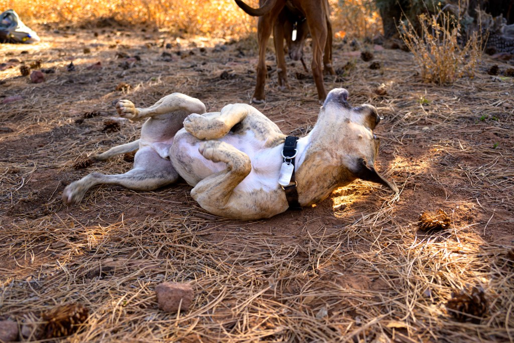
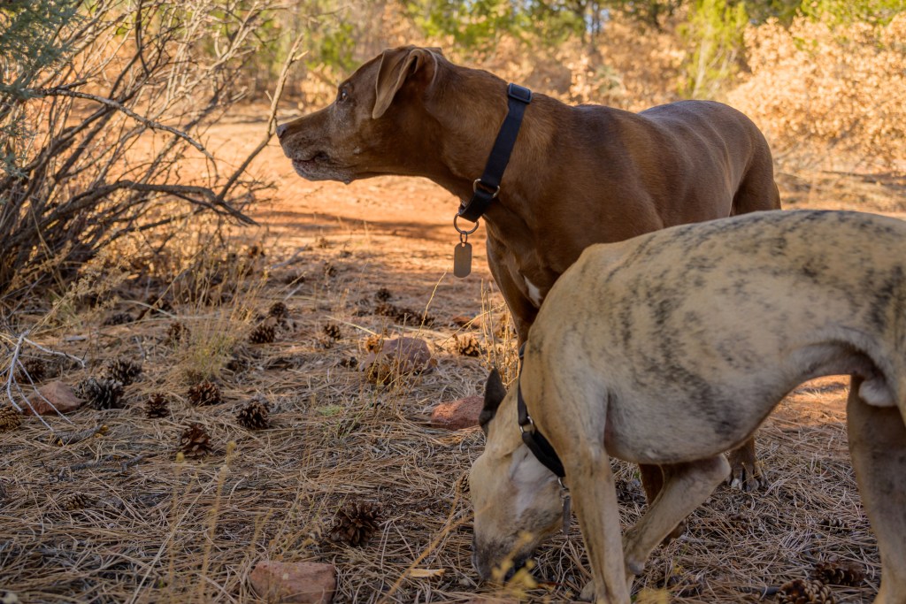
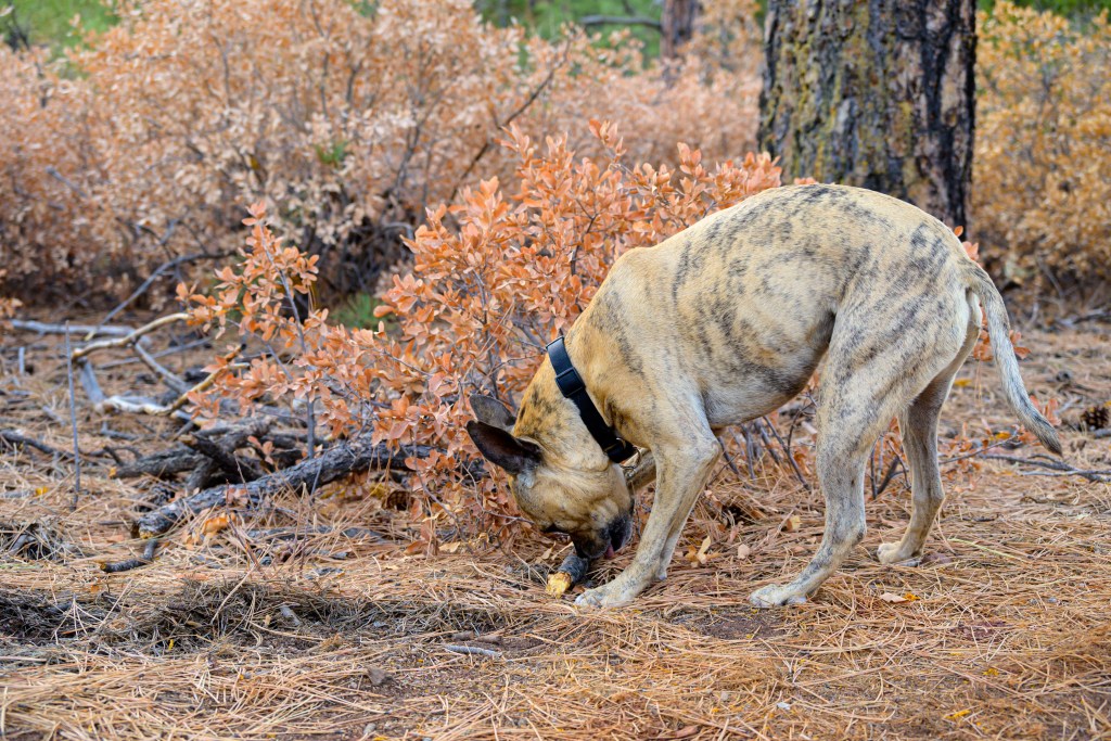
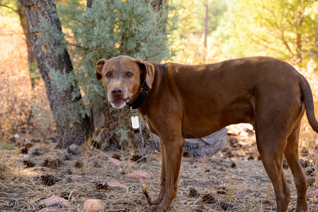
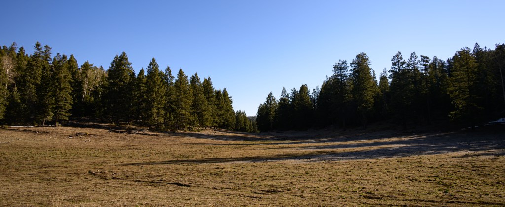
The pups enjoyed the campsite, too. While everyone was drinking coffee, they were exploring nearby and chasing sticks and frisbees. After a bit of a rough start, Type 2 fun from Friday started to soften some into at least Type 1.5 with the idyllic Saturday morning. With no real agenda, we enjoyed the morning and then started to plan the next move. FR 90 roughly follows a contour, with the ridge a couple thousand feet up and to the east, and Alamagordo a couple thousand feet down and to the west. All trails lead either straight up or straight down, pretty much perpendicular to the contours. There was unanimous disinterest in putting that kind of effort into our day, so we decided to drive back out of the forest, up from High Rolls to Cloudcroft, and then dive back in on the ridge road, from whence trails would be flatter.
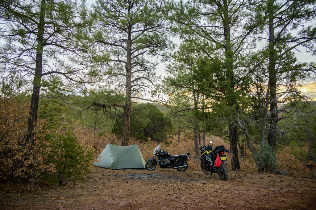
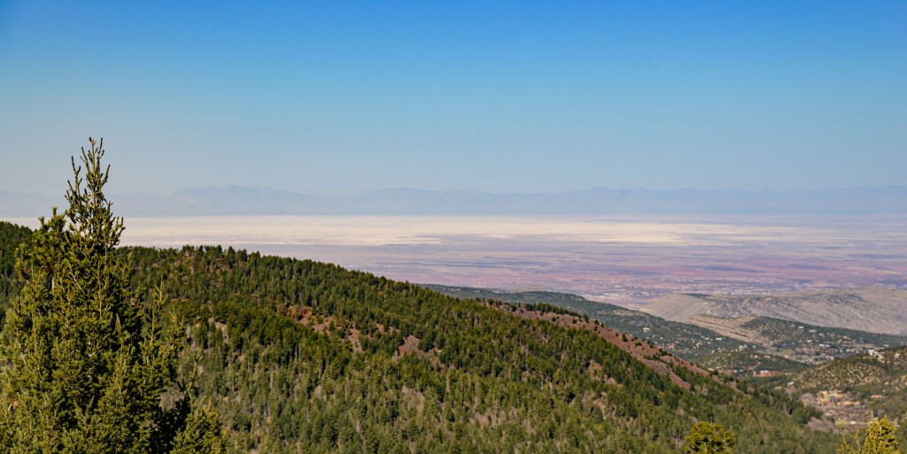
It was a good plan, but none of us really considered the ramifications of being 75 miles east and 4000 ft higher than we originally planned. We had checked the weather for Aguirre Springs—high of 83 F, low of 50 F, full sun. We had not checked the weather for the top of the Sacramento Mnts. It was noticeably cooler up above 9000 ft, but that’s expected and we were still cheery, so undaunted we set up camp a little ways down FR 64 in front of a beautiful valley. Then we headed off to find a trail.
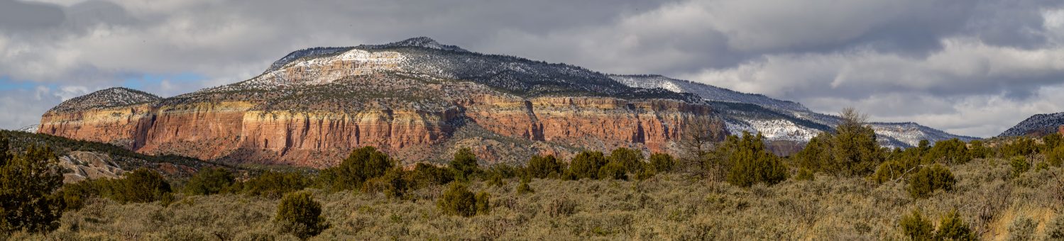
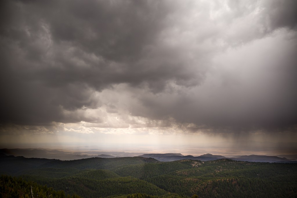
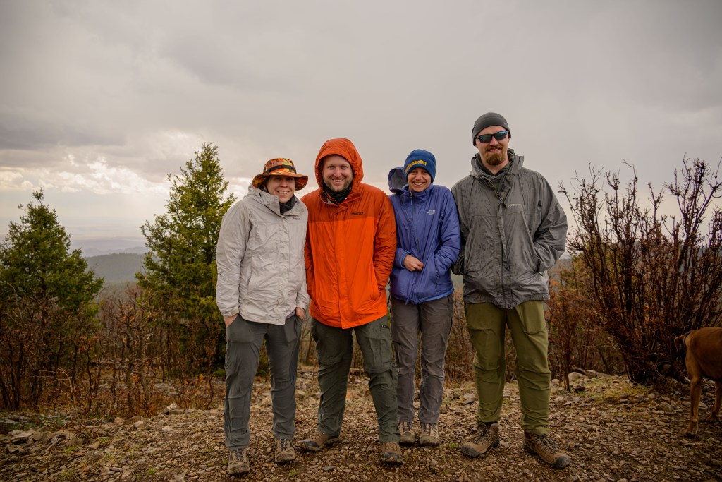
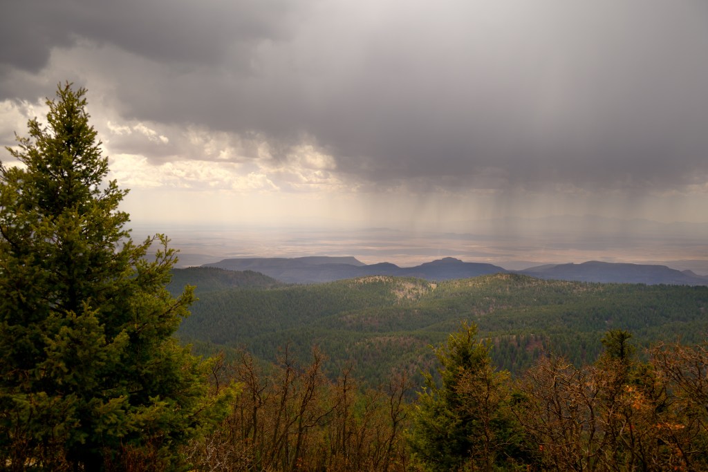
After maybe a mile, we felt the first rain drop and laughed about it. Then we saw our first hailstone and started considering the situation. We all had raincoats, true, but it’s impossible to tell if the storm will just blow over after a few drops or if it’ll let loose. On the one hand, we didn’t want to be weather pansies; on the other hand, we didn’t want to get drenched. Finally, we made the decision to turn around and head back to camp. The hail picked up—enough that the dogs hid under a pine tree for the worst of it—but in the end, it wasn’t terrible. Three cheers for having the camper van, though. We all huddled in there for a bit, warmed up, ate some lunch, and then drove up to the Sacramento Lookout tower. The views from that vantage were breathtaking, though the wind on the unprotected height was fierce. There was a lull in the storm in our immediate vicinity, which allowed me to capture some photos of the surrounding storm.
Quick detour now from the camping story to the photography commentary. The two photos below of the storm took me basically all day to process. There was not a single set of parameters (exposure, blacks, whites, shadows, highlights) that captured both the majesty of the clouds, sun, and rain in the sky, simultaneously with the expansive landscape below. I had to figure out how to divide the sky from the ground and apply different settings to each, while blending the line between them. In hindsight, I suppose this scene is a poster child for HDR photography (capturing an identical scene with several exposure times and merging them all together later), but that hadn’t occurred to me at the time. Anyway, trying to eek out a good final photo from the RAW files I had forced me to learn a little more about working in Photoshop. I probably didn’t do things as elegantly as a skilled graphic designer, but I got something decent in the end. And after spending hours and hours struggling with the first one, I got the second done in what felt like 5 minutes, so I suppose it was a worthwhile investment of a Saturday’s worth of time.
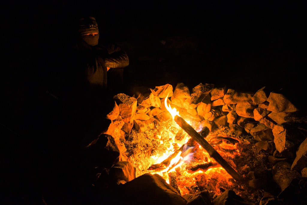
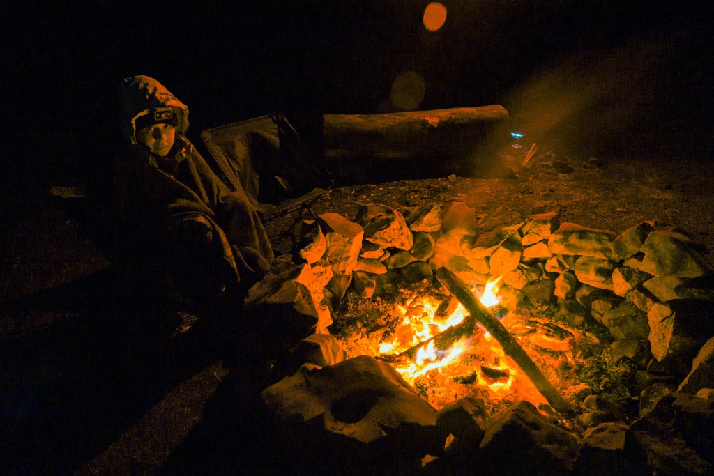
After the lookout point, we napped the rest of the storm away. When I woke up a couple of hours later, the skies were clear and it was decently warm in the sunshine, so we took the pups down the valley from the campsite for a little walk. Seeing what’s around the next turn is irresistible for me, but eventually, I had to admit that it would be more “down”. Hoofing it back up put the final touches on warming me back up. After that, we had a beverage in the last of the sunshine and then enjoyed a campfire for the evening.
Sunday morning, we packed up and headed out, stopping at a scenic overlook off Sunspot highway. After a solid brunch at a gem of a local place in Cloudcroft, it was a pretty drive home followed by some personal hygiene and laying around. Overall, about 50/50 for win/bust on this little weekend trip.

Nice photos Elizabeth. Thanks for sharing.
Dad
LikeLike
Quite a week end!
Sent from my iPad
>
LikeLike
The storm clouds over the valley – that’s a winner! I’d say it was well worth the extra Photoshop struggle.
LikeLike