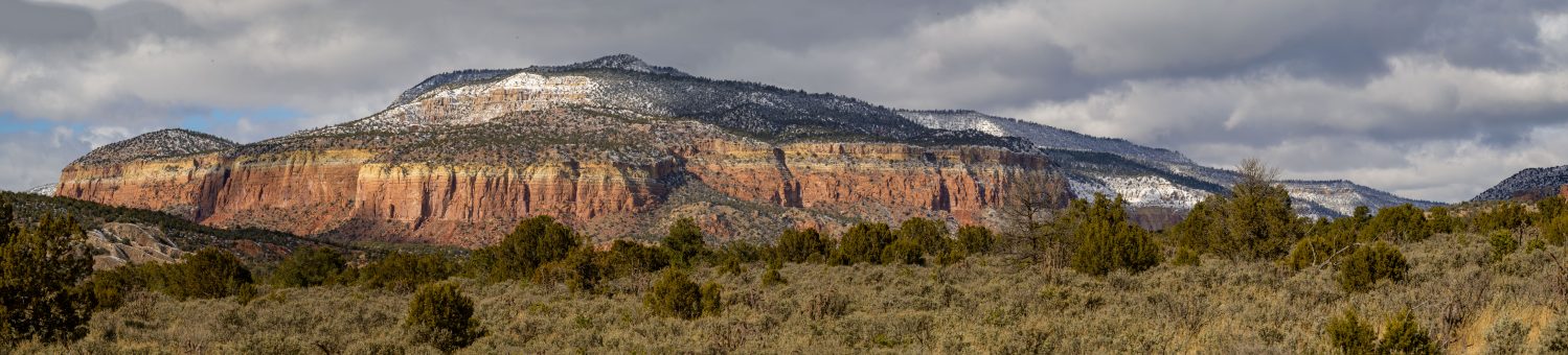

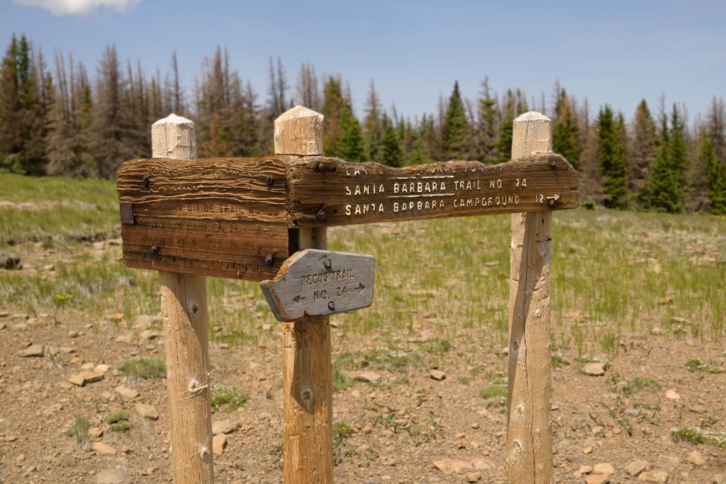
We headed out into the Pecos Wilderness for what has become something of a birthday backpacking tradition over the last couple of years. This year, we headed up the East Fork of the Santa Barbara trail, camping just below the ridge line. Day two was spent hiking along the ridge to the west, and on Day 3, we strolled down the West Fork. Check out this map for some route context. (P.S. If you’ve never explored Caltopo, you should check it out. I can spend hours on this site, planning out my next adventure. I love maps!)
Hiking along the Divide trail last year, specifically the stretch between Jicarita peak and the East Fork, was the final motivation to buy my camera, so of course, I was super excited to haul a couple extra pounds 3,000 feet up the mountain for this trip. Finally, 3 months later, I’ve finished the photo edits. You tell me if it all was worth it!
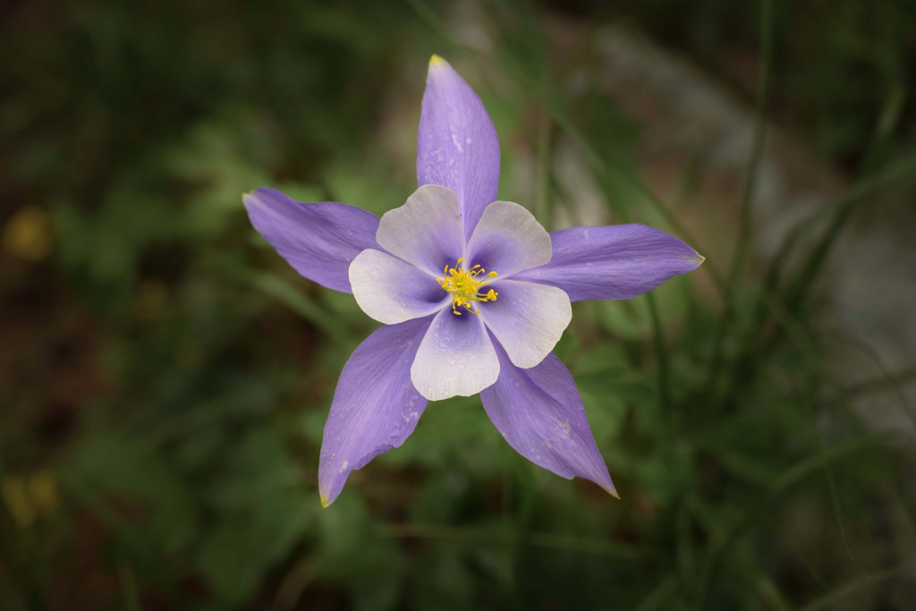
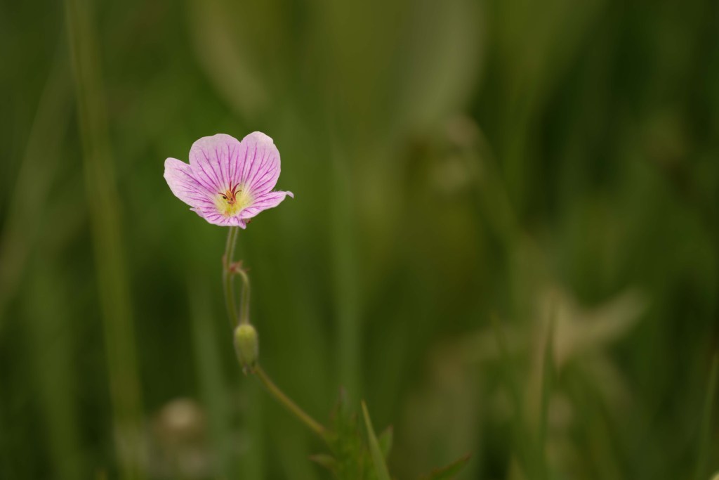
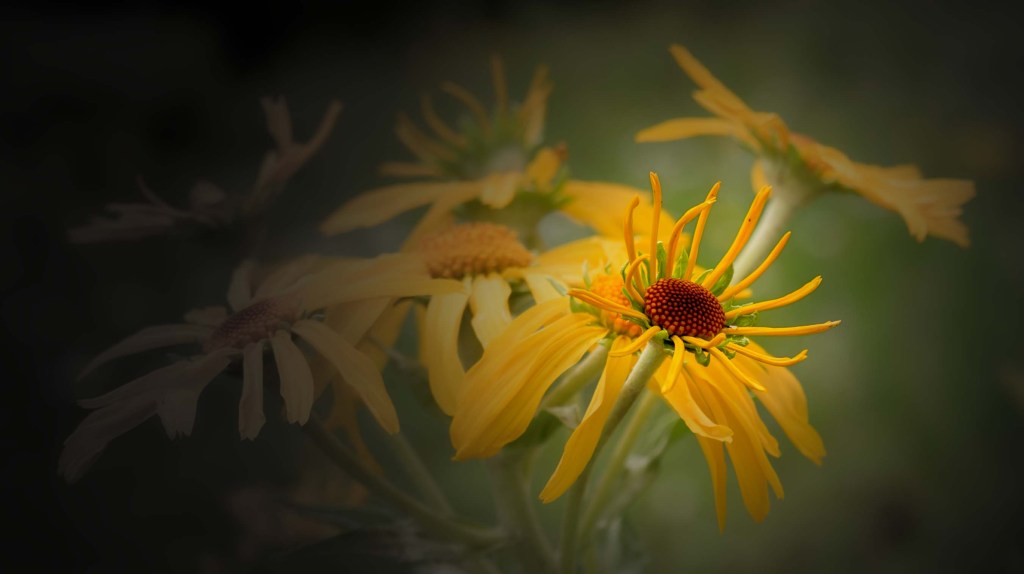
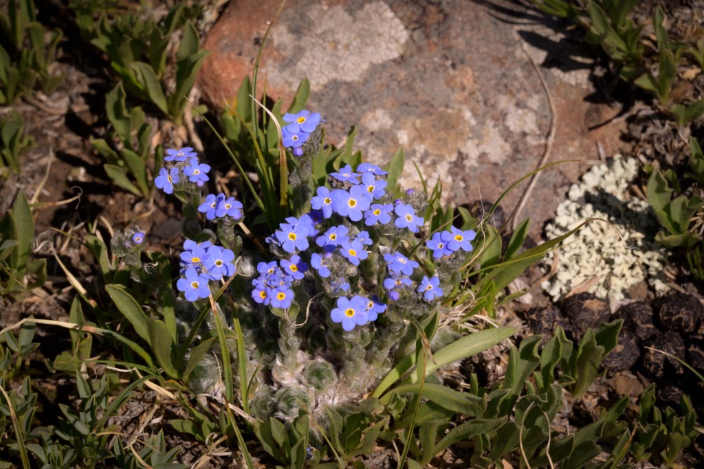
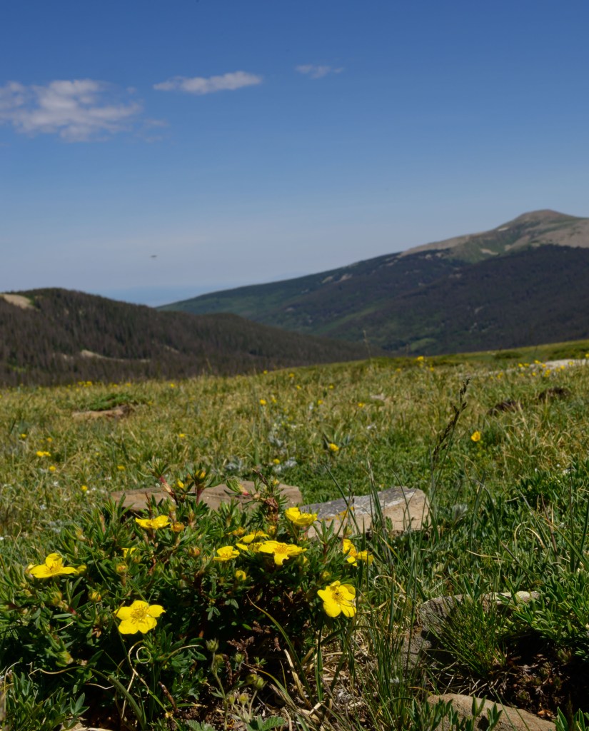
There were some beautiful wildflowers near our campsite Day 1, so I tried my hand at some closeups of them. I spent hours editing these photos, only for M- to like the originals better in several cases. Oh well. I learned some Photoshop tricks on the way that may be useful later on (if I can remember them). And in the end, whether or not you can tell a difference with the original or think these edits are actually improvements, I still think the flowers are pretty.
After hiking for miles through the cow-poo-filled marshy mucky-muck that was the East Fork trail, we stopped for the first night with several hours of daylight left, because we found a superb campsite by the stream and didn’t know what may or may not be further up the trail. That meant we got to enjoy some of the afternoon relaxing.
Morning of Day 2, we started the final push up to the ridge, which turned out to be a bit further and higher than we estimated when we stopped the night before.
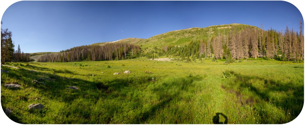
Photographer’s shadow 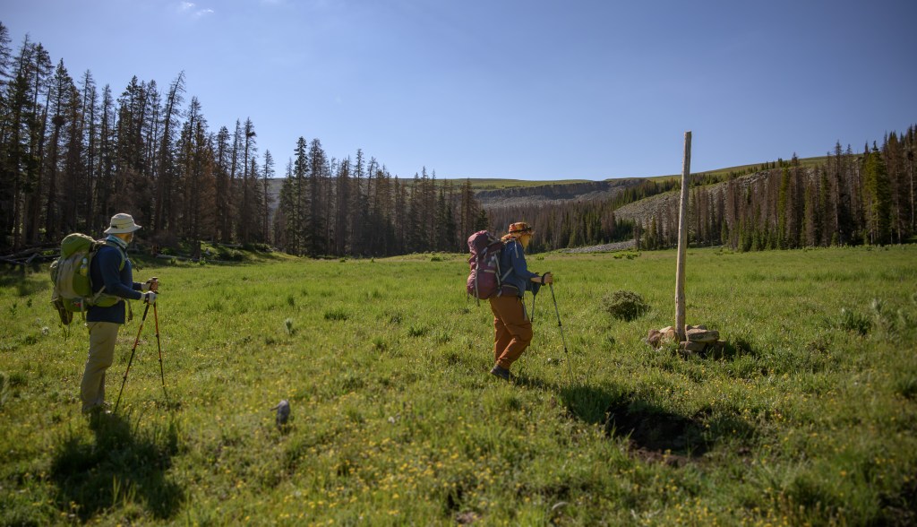
Connecting the cairns 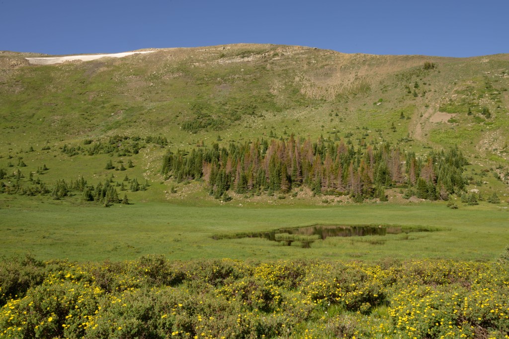
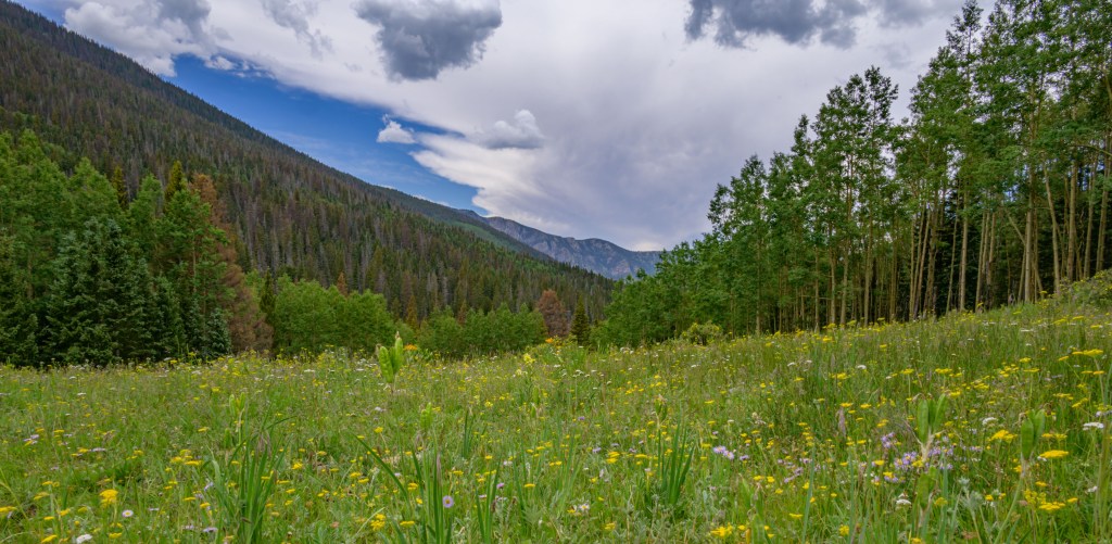
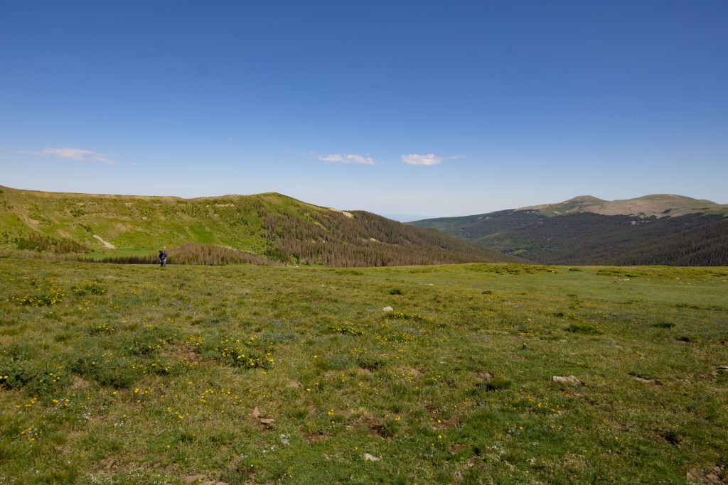
Marshy meadow just below the ridge 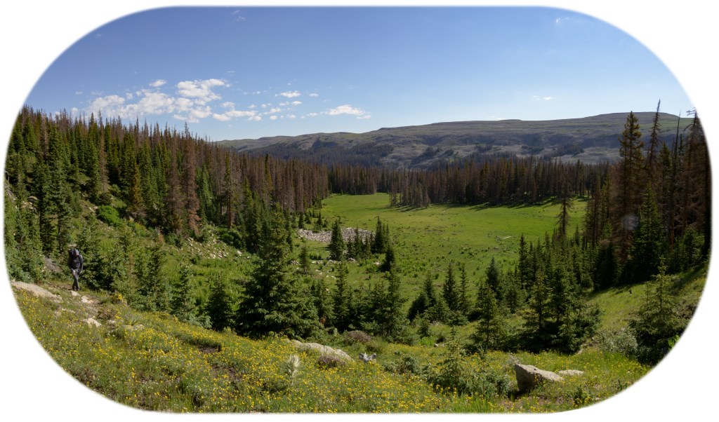
Half way up, looking down 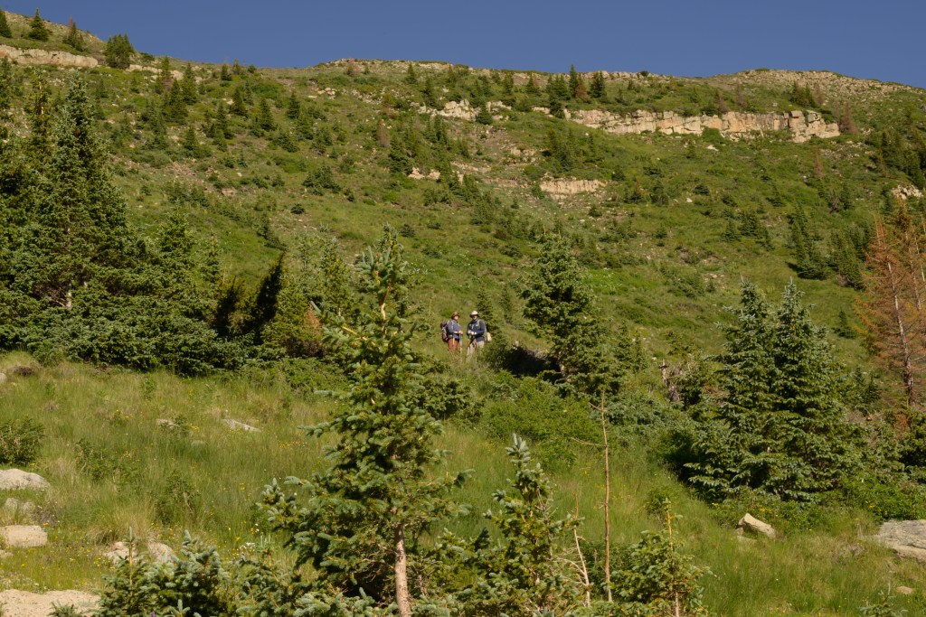
Half way up, looking up 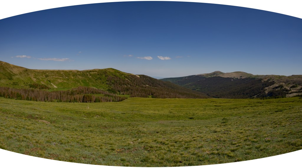
Almost to the top 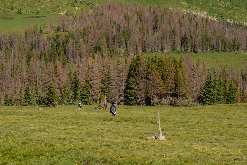
Coming up the last incline of the East Fork trail
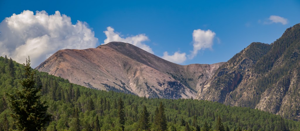
When we made it up to the top, though, the views were every bit as vast and mesmerizing as we anticipated.
It looks flat here, but it isn’t 
Staying strong at the false summit 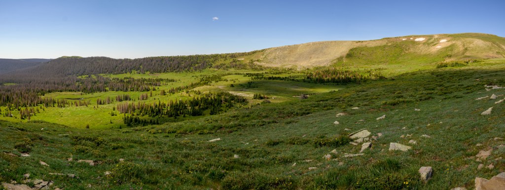
Looking down the south side 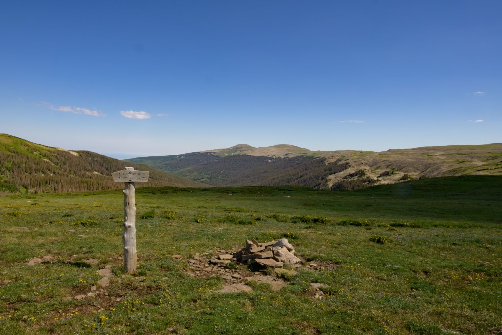
Finally, the East Fork / Divide intersection!
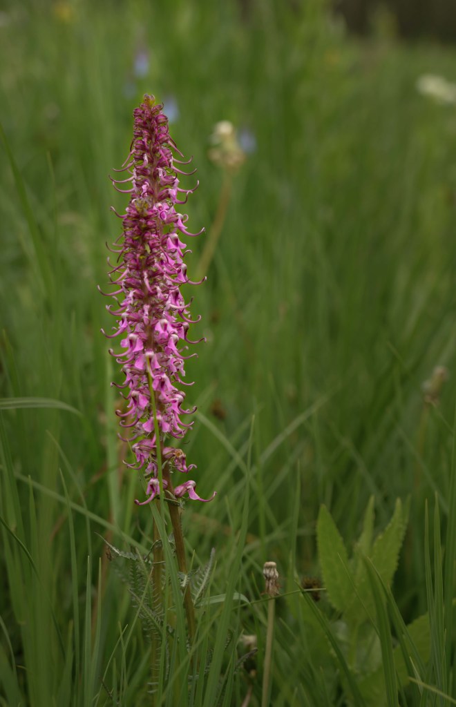
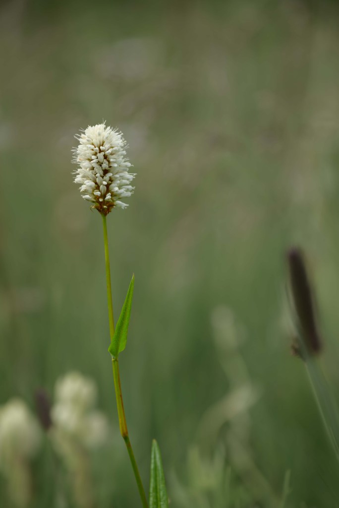
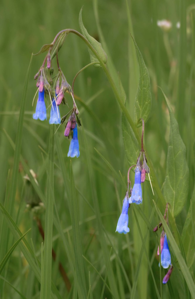
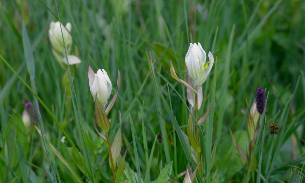
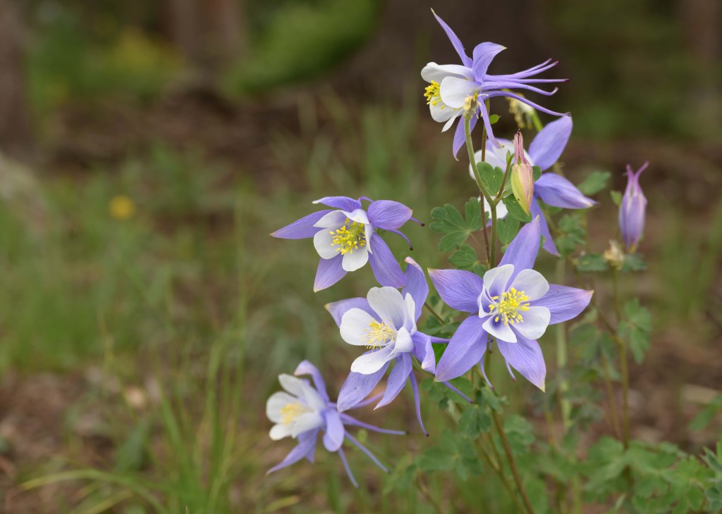
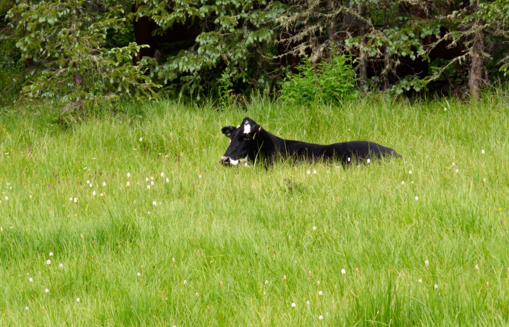
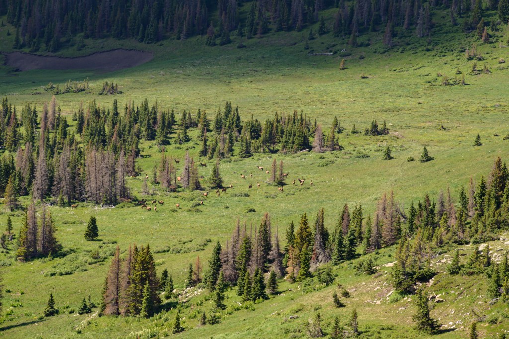
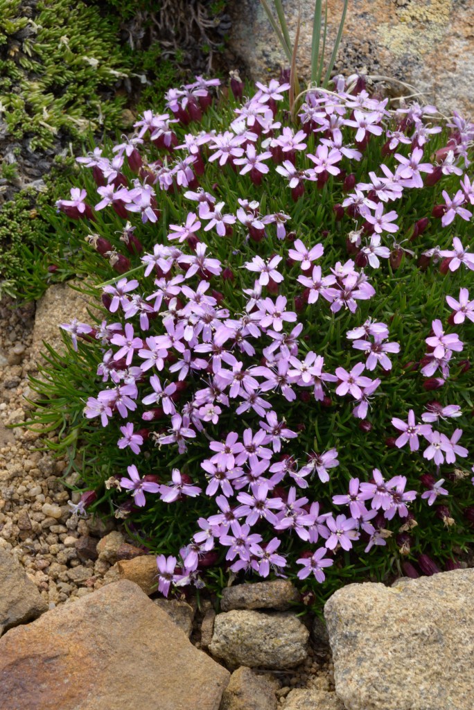
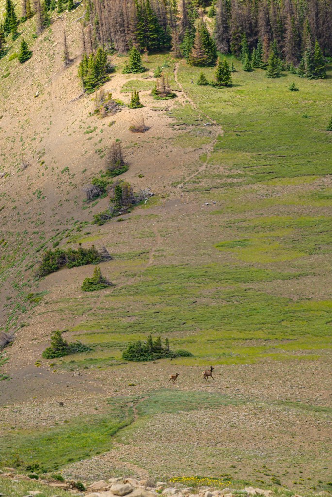
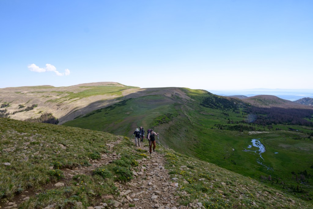
Up along the ridge, on the Divide trail, we saw more wildflowers and (real) wildlife.
From our previous trip, M- and I were acquainted with the “Hill of Woe” (aka, Santa Barbara peak) that inserted itself rudely on the trail between the East Fork and Middle Fork. It wasn’t as bad this time, since we hit it earlier in the day compared to last time, but we still got beat going up it by fat yet fast marmots.
Coming up the Hill (looking east) 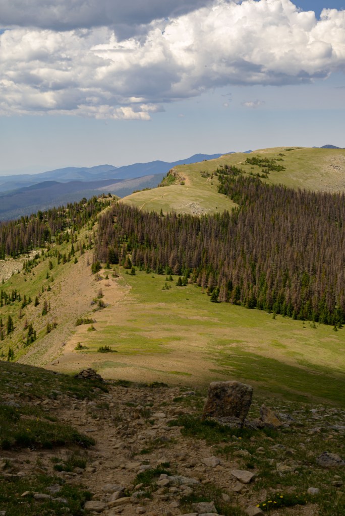
Looking down the Hill to the west 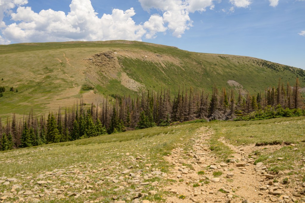
Looking back east at the Hill, after hiking past the Middle Fork 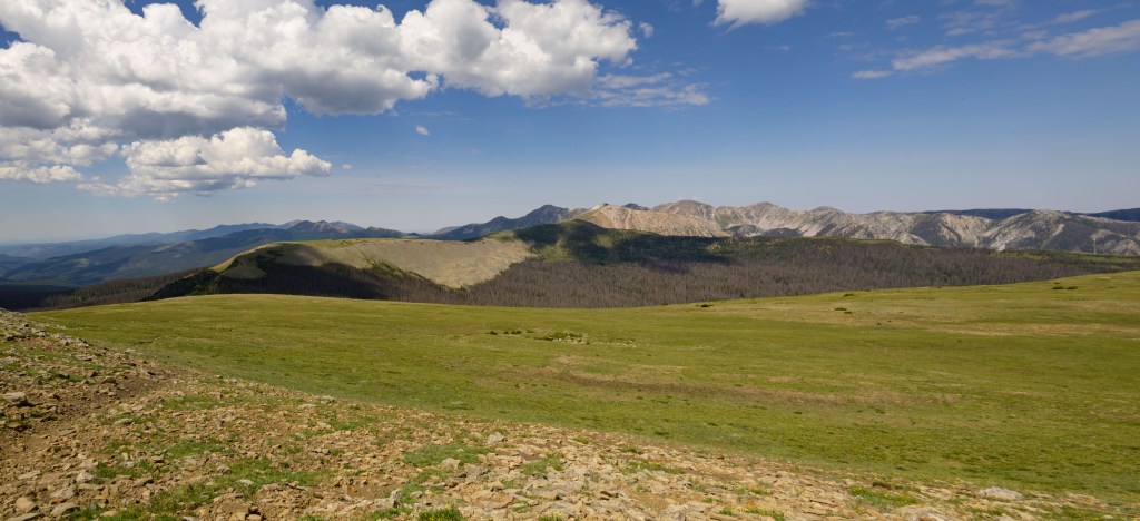
Amazing view from the top of the Hill
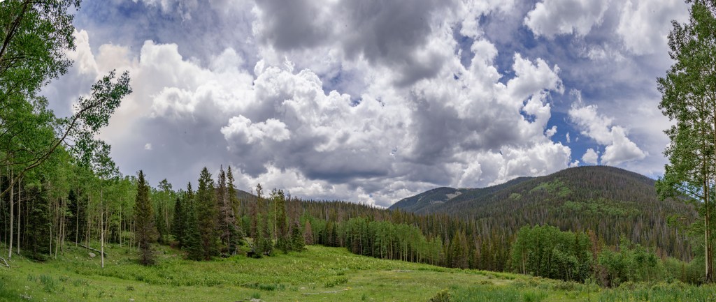
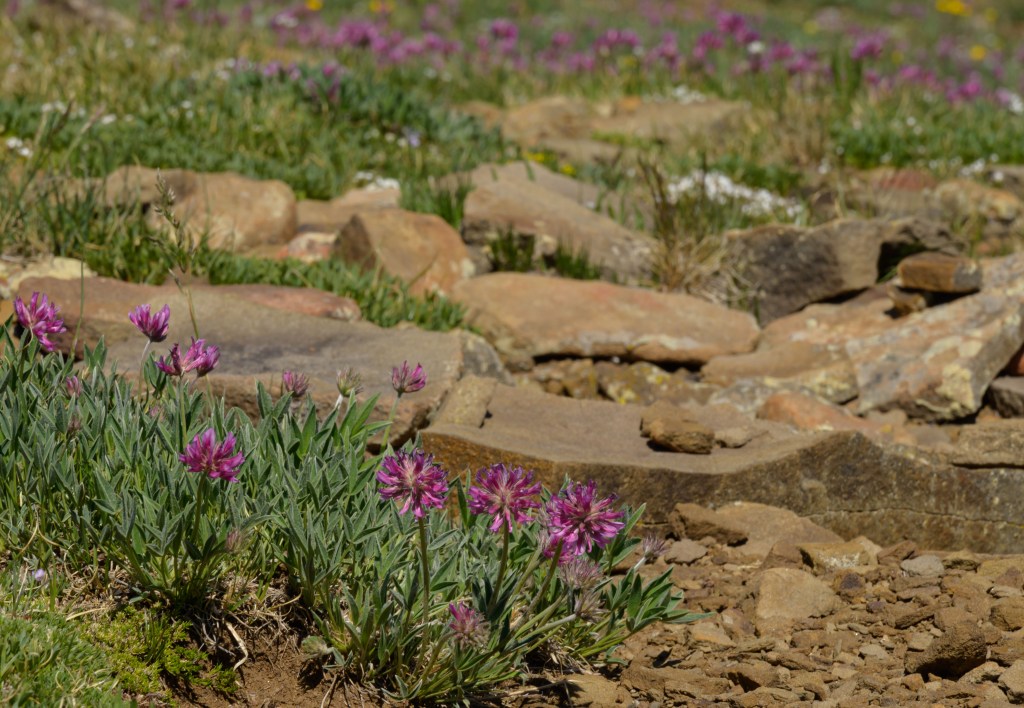
The Big-I of the Pecos Wilderness (Betty’s, Middle Fork, and Skyline trail) marked the start of a relatively easy portion of the hike, where we had a lovely promenade along the Skyline trail. Expansive views surrounded us as we followed either a well-worn trail or the faintest of paths connecting cairns that sprouted at just the right intervals, all the while keeping our eye on the storm developing to the south.
Big-I of the Pecos Wilderness 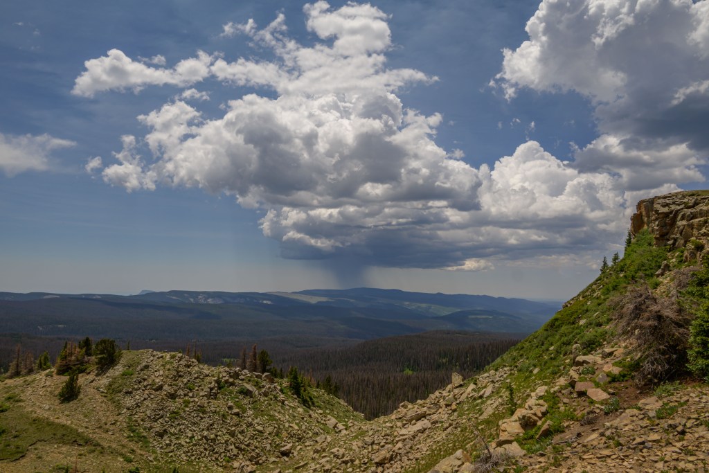
Storm! 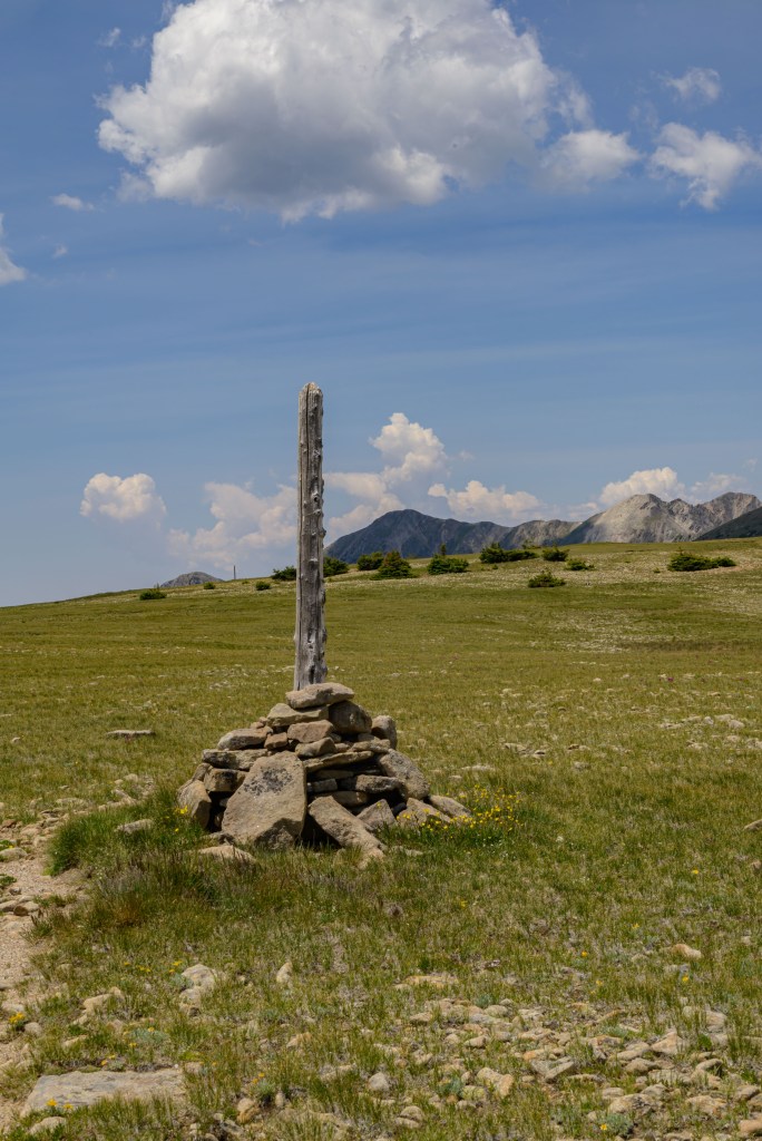
Cairn 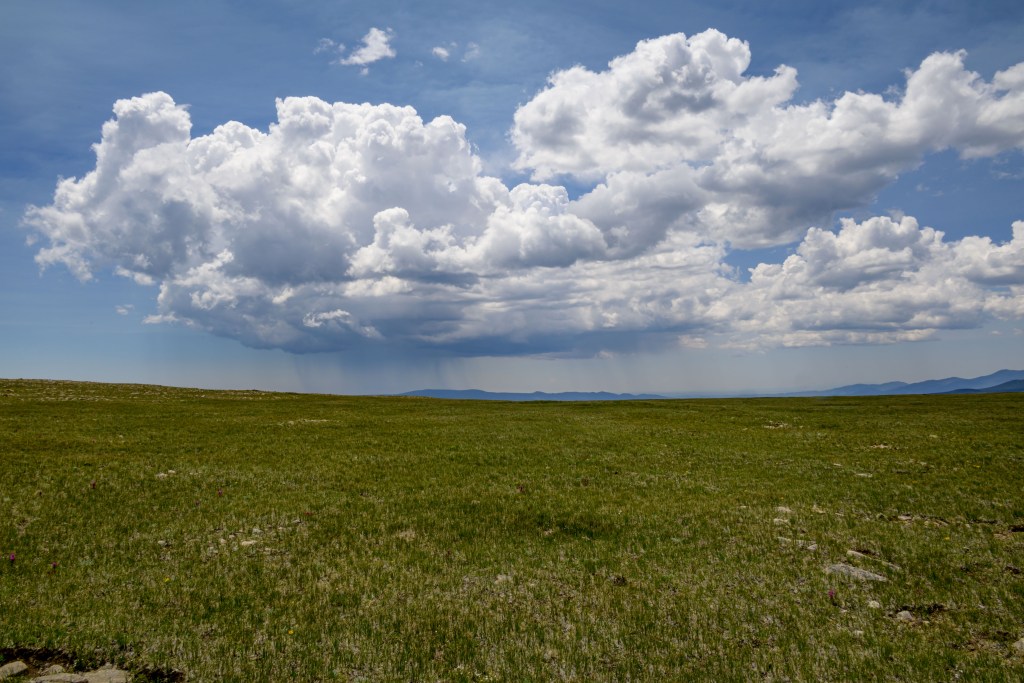
Storm! 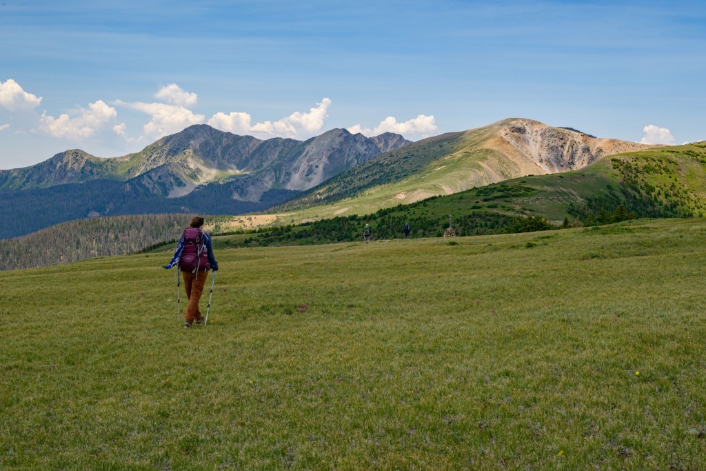
Strolling along the Skyline trail 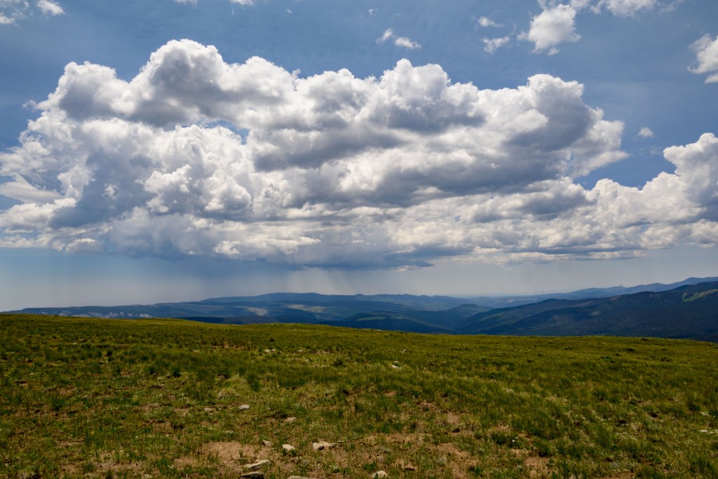
Storm! 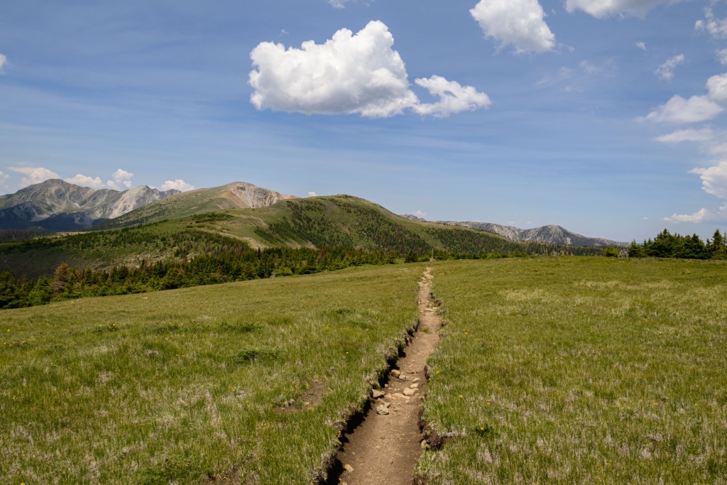
Well-worn trail on the ridge 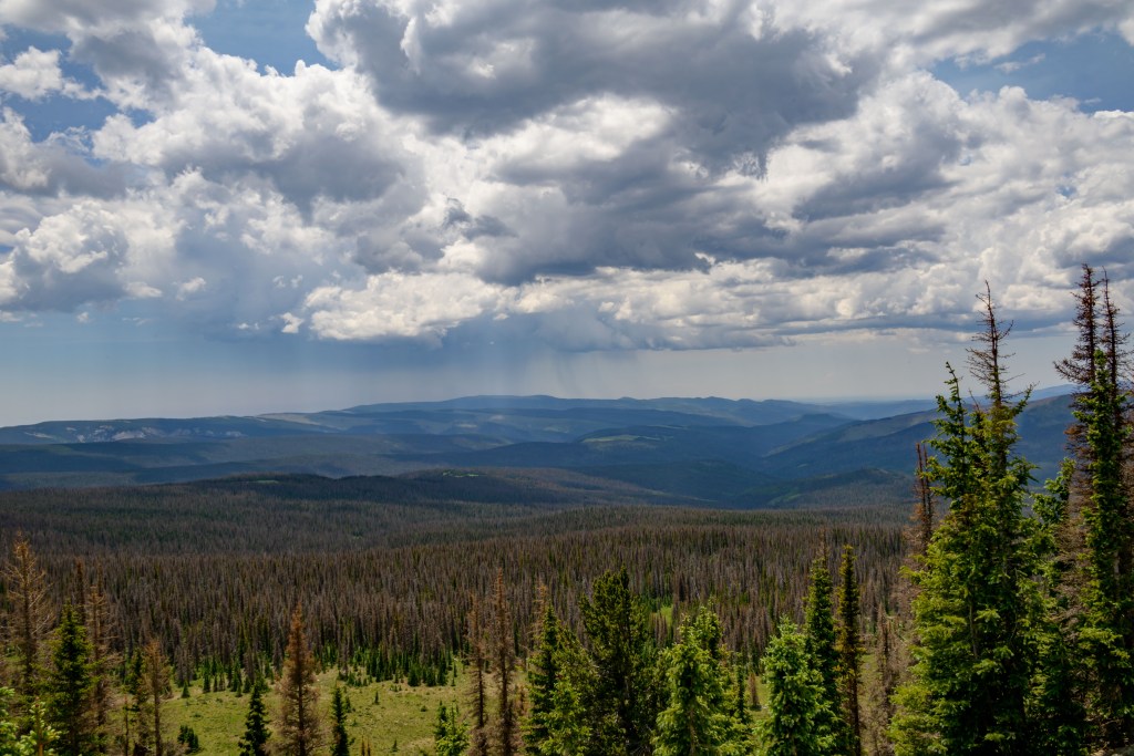
Storm! 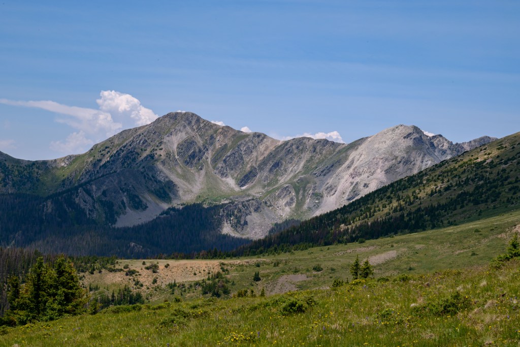
North Truchas peak 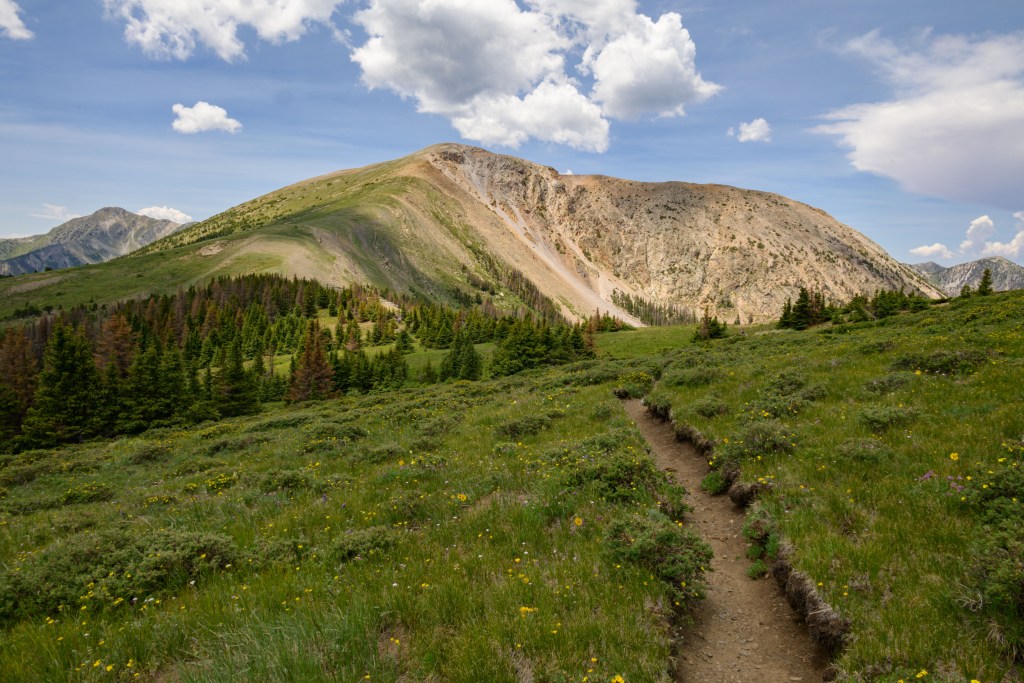
Chimayosos peak
While we enjoyed the stroll along the ridge, we were also trying to keep a good pace, since we needed to get around Chimayosos peak to the south, up and over a saddle between Chimayosos and North Truchas peak, and then down a scree field on the north side to our target campsite just below treeline at the top of the West Fork—all before we got caught out in the open during the afternoon monsoon and lightening storm. Unfortunately, I was the weak link and just after the last photo above, I called a halt for a brief break that turned into me trying not to puke, presumably from a combination of exertion (climbing up to the ridge), sun exposure (being solidly above treeline) and high altitude (above 12,000 ft. all day). A- felt better than me, but was also impacted by the environmental effects; we both dove headlong into a small copse of pine trees and sat in the shade for an hour or so, trying to recuperate enough to continue the journey. At some point in here, I was seriously considering bushwacking straight down to the south and making our way to and then along Betty’s trail, since the only real cure for altitude sickness is to get to lower elevations; I wondered which would be worse, continuing on my own empty energy reserves or calling (and waiting on) mountain rescue (if we even could).
Finally, M- interrupted my reverie and impressed upon me that we really couldn’t stay where we were any longer—while the storm to the south that we’d been watching all day meandered away, a different storm had brewed out-of-sight just over the ridge to the north and was popping up and over immediately onto us. Luckily, enough time had passed that I no longer felt completely inept (though I was by no means fully recovered). M- and Z- graciously offered to shoulder some of my weight, and we all slung on packs and continued along the trail.
As we rounded the south side of Chimayosos peak, we dipped below treeline while the storm to the north evaporated (or in hindsight, more likely just hid behind Chimayosos; but at the time, we thought the monsoon had missed us for the day after all). Bolstered by the trees and the sunshine, we took another break and contemplated setting up camp here. After a couple of hours of napping and rehydrating, though, we all felt much improved and decided that since the storm had disappeared, we could make it over the saddle and to our original target destination after all. Off we went again, along what turned out to be a gentler-than-expected final climb to the saddle, during which, you guessed it, our storm-friend reappeared with gusto. By the time the lightening and hail started, we were simultaneously back above treeline (not good), but also closer to the trees on the north side where we were headed than on the south side from whence we came. Nervously, tensely, and quickly as we could muster, we made the final push over the saddle and down the scree, luckily (and I’m pretty sure it was just luck) without electrocuting ourselves. Naturally, to continue to follow Murphy’s law, as soon as we got to the relative safety of the pines on the north side, the storm went who-the-hell-knows-where, full sunshine shown upon us, and the air turned muggy as the Midwest.
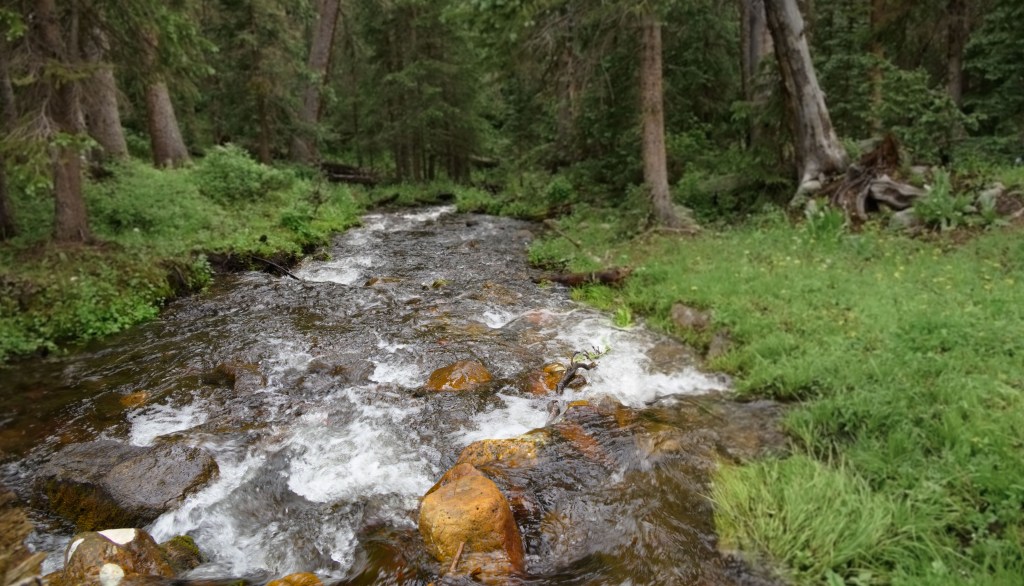
After all that excitement, we had a fairly pleasant walk down the West Fork a mile or so to the campsite M- and I had passed by on our previous trip. It’s an absolutely lovely spot, good flat ground covered in soft pine needles, next to a small stream that’s perfect for refilling water supplies, and also for an invigoratingly ice-cold splash-off “shower”. While we made dinner, a gentle rain began to fall, so we bid each other adieu, crawled into our tents, and slept off the day’s adventures.
The next morning, we were all more-or-less refreshed (as long as no one asked us to turn back uphill). We drank some coffee while watching the sun rise, and then headed down the last stretch of the West Fork to end our loop back at Santa Barbara TH, thus concluding this year’s birthday backpacking adventure.
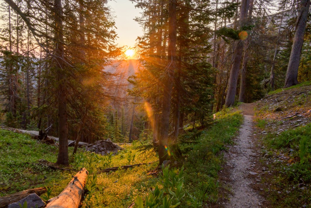
Sunrise at top of West Fork 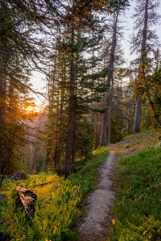
Sunrise 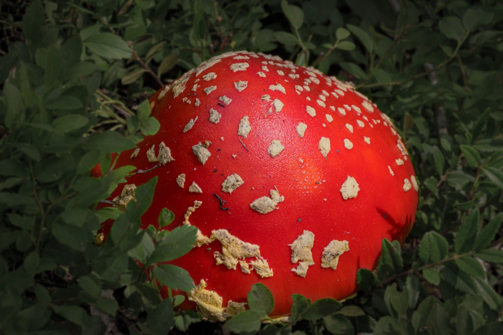
Mushroom from Alice in Wonderland 
Looking back uphill towards the ridge we were on the day before 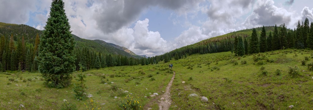
Looking forward downhill towards the end of this year’s journey
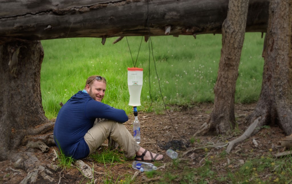
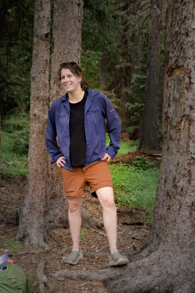
Bonus content: I snapped some pictures with my cell phone, which maintains a convenience factor over my Nikon. Below are some amusing anecdotes from the trip.
Peaceful as a baby napping under a tree in the rain (Day 1) 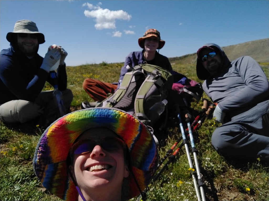
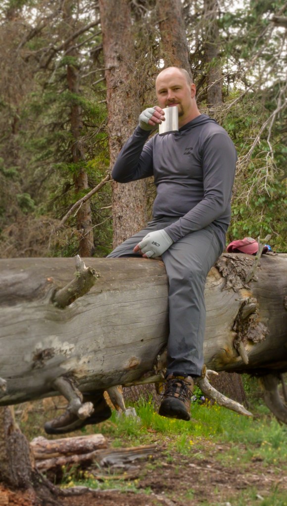
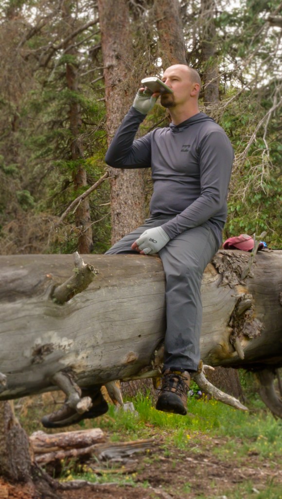
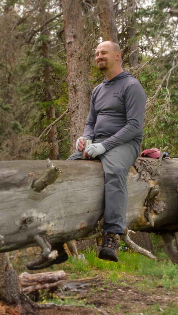
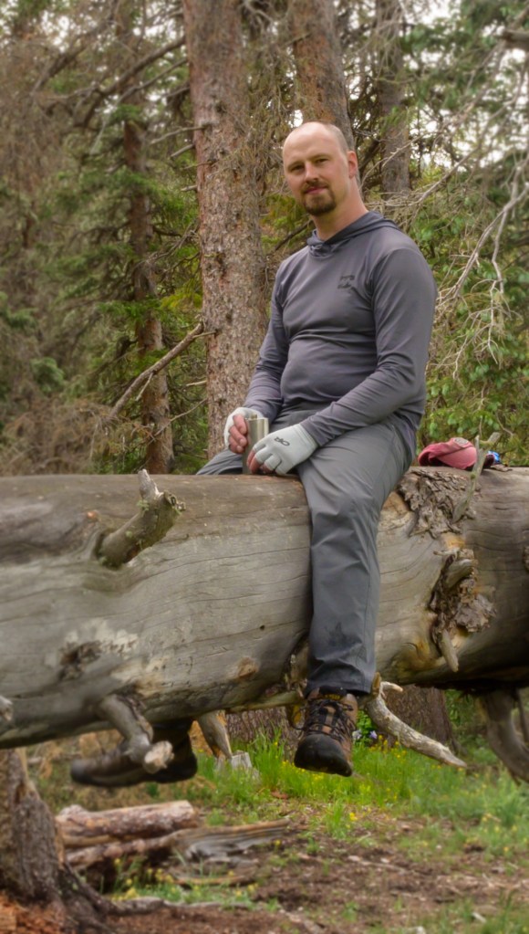
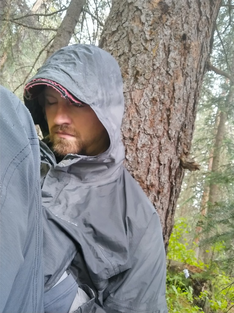
Doing an admirable job looking like I don’t feel like I’m on death’s door on Day 2 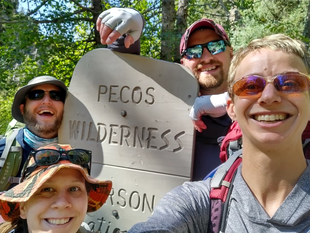
Enthusiastic entrance to the Pecos Wilderness on Day 1 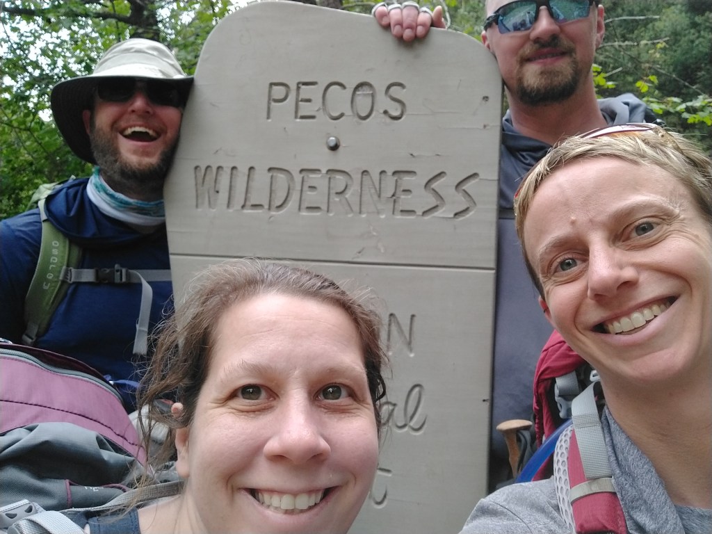
Exiting the Wilderness on Day 3. 1st place goes to Z- for having an identical smile as Day 1.

Very pretty pics but it was a lot work to get them!
Sent from my iPad
>
LikeLike
Elizabeth,
You’ve got some very nice landscapes. I especially liked your sun rises! Not easy to get a good sun rise photo like you have.
Whatever you’re doing with post-processing your flower images – keep doing it! You’re onto something very nice. Keep playing with it. I like the results, especially the ones that look more ephemeral.
And your log of your hiking is simply daunting! Glad I wasn’t trying to keep up with you, Mark, and your friends!
For what it’s worth – when you’re hiking high and in drier climates, try drinking extra water. Also make sure you get enough electrolytes. (I prefer hydrating with a beer and chips, but I’ve been told that’s not a good idea!)
Keep sending your photo work. I enjoy following what you’re doing .
Jerry
Sent from Mail for Windows
LikeLike